Compass 2026
Illinois Meetings
A day of insights, connections & solutions. Learn how connected GPS technology drives safer personnel, smarter fleets, and better winter operations.
Wednesday · June 17, 2026
Springfield, IL
Thursday · June 18, 2026
Bloomington, IL
About the Series
Learn the technology shaping modern fleets
The Compass 2026 Illinois Meetings bring MCA and CompassCom directly to your community for a hands-on, vendor-neutral education day. Across two cities and four sessions, you'll see how radio location, vehicle & asset tracking, mobile communications, and snowplow GPS come together to keep people safe and operations running. No sales pitch — just practical knowledge, real case studies, and peers solving the same challenges you face.
The Curriculum
Explore solutions that drive your operations forward
Radio Location Services
Locate and manage personnel, vehicles, and assets with real-time visibility.
Vehicle & Asset Tracking
Monitor fleet operations, improve efficiency, and make data-driven decisions.
Fleet & Mobile Solutions
Keep teams connected and productive wherever work takes them.
Snowplow Tracking & Winter Ops
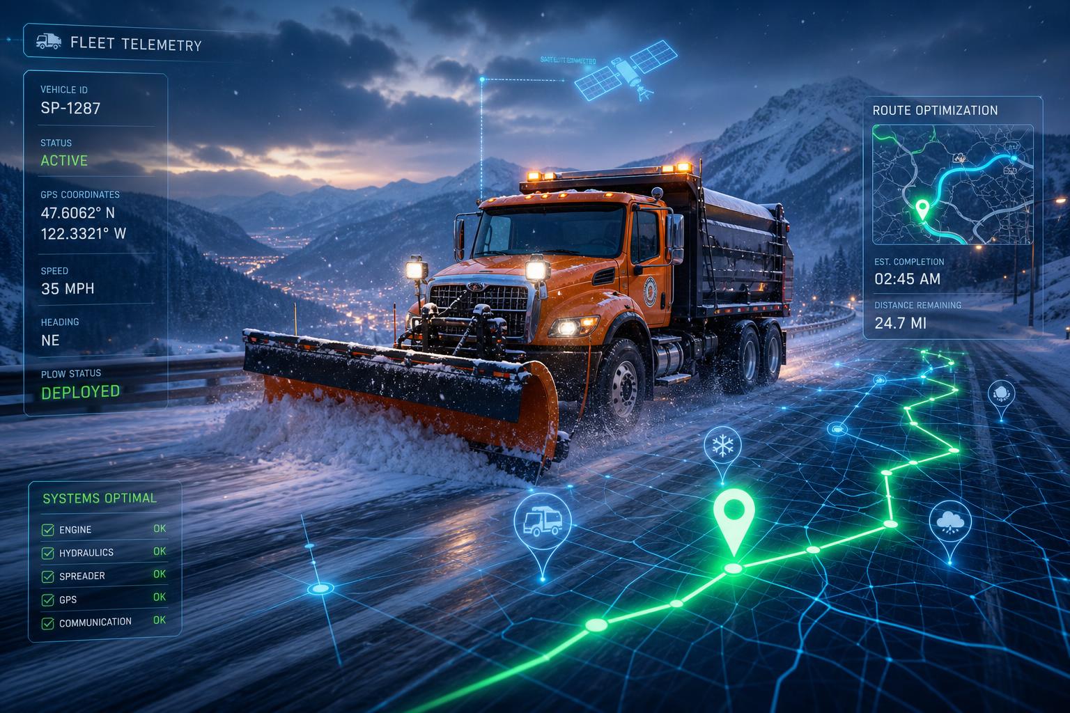
Learn how agencies like IDOT track 1,800+ snowplows and optimize winter maintenance.
Who Should Attend
Built for the people who keep things moving
- Public safety & fire department leaders
- Fleet, operations & logistics managers
- Public works & winter maintenance teams
- IT & communications decision-makers
What You'll Take Away
- How real-time radio location keeps personnel, vehicles, and assets visible and safe.
- Practical ways to improve fleet efficiency with vehicle & asset tracking data.
- Strategies to keep mobile teams connected and productive in the field.
- How agencies like IDOT track 1,800+ snowplows to optimize winter maintenance.
Agenda
One full day, two focused sessions
Same agenda at both locations. Lunch and networking provided.
Session 1: Solutions in Action
Live demos of radio location, vehicle & asset tracking, and fleet mobility.
Lunch & Networking
Connect with peers, speakers, and industry experts over a provided lunch.
Session 2: Winter Operations & Q&A
Snowplow tracking case studies (IDOT) and an open roundtable discussion.
Speakers
Meet your educators
Each session features a CompassCom solutions expert, an MCA consultant, and a local fire department leader.
Springfield · Wednesday, June 17, 2026
John Doe
Director of Field Solutions
Lorem ipsum dolor sit amet, consectetur adipiscing elit. Sed do eiusmod tempor incididunt ut labore et dolore magna aliqua. Ut enim ad minim veniam, quis nostrud exercitation ullamco.
John Doe
Regional Account Manager
Lorem ipsum dolor sit amet, consectetur adipiscing elit. Sed do eiusmod tempor incididunt ut labore et dolore magna aliqua. Ut enim ad minim veniam, quis nostrud exercitation ullamco.
John Doe
Battalion Chief
Springfield Fire Department. Lorem ipsum dolor sit amet, consectetur adipiscing elit. Sed do eiusmod tempor incididunt ut labore et dolore magna aliqua. Ut enim ad minim veniam, quis nostrud exercitation ullamco.
Bloomington · Thursday, June 18, 2026
John Doe
Solutions Engineer
Lorem ipsum dolor sit amet, consectetur adipiscing elit. Sed do eiusmod tempor incididunt ut labore et dolore magna aliqua. Ut enim ad minim veniam, quis nostrud exercitation ullamco.
John Doe
Senior Communications Consultant
Lorem ipsum dolor sit amet, consectetur adipiscing elit. Sed do eiusmod tempor incididunt ut labore et dolore magna aliqua. Ut enim ad minim veniam, quis nostrud exercitation ullamco.
John Doe
Fire Chief
Bloomington Fire Department. Lorem ipsum dolor sit amet, consectetur adipiscing elit. Sed do eiusmod tempor incididunt ut labore et dolore magna aliqua. Ut enim ad minim veniam, quis nostrud exercitation ullamco.
Venues & Directions
Choose the location that works for you

Wednesday · June 17, 2026
Springfield
Crowne Plaza Springfield
Crowne Plaza Downtown Springfield · An IHG Hotel
3000 S Dirksen Pkwy, Springfield, IL 62703
A full-service downtown hotel minutes from the State Capitol with complimentary parking, on-site dining, and modern meeting spaces — an ideal setting for a focused day of learning and networking.
Getting There
- ›From I-55: Take Exit 94 (Stevenson Dr) and head west, then north on S Dirksen Pkwy.
- ›Roughly 15 minutes from Abraham Lincoln Capital Airport (SPI).
- ›Free on-site parking for all attendees.

Thursday · June 18, 2026
Bloomington
DoubleTree by Hilton Bloomington
DoubleTree by Hilton Bloomington
10 Brickyard Dr, Bloomington, IL 61701
A welcoming hotel near Uptown Normal and Central Illinois Regional Airport, offering spacious conference rooms, easy interstate access, and ample parking for a productive day on the road.
Getting There
- ›From I-55/I-74: Take the Veterans Pkwy exit and follow signs toward Brickyard Dr.
- ›About 10 minutes from Central Illinois Regional Airport (BMI).
- ›Complimentary parking available at the venue.
Space is limited — reserve your spot today
Registration is free. Choose Springfield (June 17), Bloomington (June 18), or both. We look forward to seeing you there!
https://form.123formbuilder.com/6959823/compass-2026-illinois-meetings-registration